Yemen@t Satcom
Satellite Imaging & Mapping
Home
Satellites
SCADA Anywhere!
Satellite Phones
Remote Monitoring & Control
VPN
Inmarsat Remote Tracking
Radial Drilling Optimization
Yemen Sat
GIS & Geo Data
Satellite Imaging & Mapping

adensat2.jpg

Satellite & Remote Sensing Imaging:
 
Satellite Sensors
 

Image processing includes; image enhancements, georeferencing and mosaicing, image data fusion with different types of images, pan sharpening, color/grayscale balancing and optional orthorectification of panchromatic (B&W) and RGB (Color) scenes and specialized processing procedures used to provide information on:

  • Landcover classification and mapping
  • Landsat 7 +ETM coastal seafloor mapping
  • Landsat 7 +ETM water enhancement
  • Coral reef detection and mapping
  • Normalized Difference Vegetation Index (NDVI) classification and mapping
  • Lithological classification and mapping with Landsat 7 +ETM, ASTER and EO-1
  • Change detection
  • Environmental monitoring
  • Urban Development and monitoring

Landsat TM4 and 5 Satellite Image Data can be utilized were cloud cover becomes a problem with Landsat 7 +ETM Data around equatorial regions.

Image data is provided in a variety of formats and can be incorporated in an existing GIS or Ready-To-Go GIS Project.

  • Digital Aerial Photography

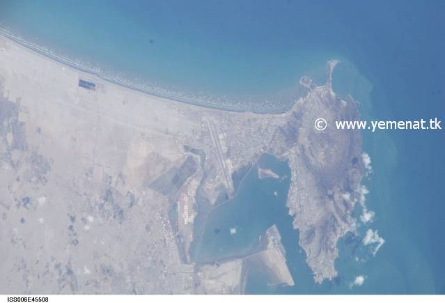
    A variety of Digital Aerial Photography is utilized for varies Projects to enhance the overall Project objectives and provide an economical solution to many difficult Projects in urban and remote areas. The higher resolution Image source data is utilized to facilitate more detailed Image feature classification and detection.

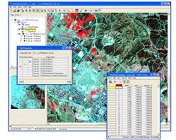
    The dia-positive Image frames from standard Aerial Photography are scanned with a calibrated Photogrammetric scanner at a resolution, defined by the Project specifications. By implementing high standards from the scanning of the dia-positives to the production of the final Orthorectified Digital Aerial Photo mosaic, SIC provides the best Digital Image resolution possible.

    The Digital Aerial frames are Orthorectified and mosaiced to provide a near seamless processed Digital Image, with pixel resolutions from 0.05 meters to 2.5 meters.

  • Exploration/Resources

    The exploration of natural resources mainly including oil and natural gas and minerals which represents one of the most established markets in the remote sensing industry. Satellite imagery can aid in the development of initial mineral surveys and the recovery of the sites after resource extraction. The use of satellite imagery in exploration market can save valuable time and money and also increase efficiency while providing accurate and up-to-date information designed significantly to give customers the competitive edge and reduce business risk.

    Users and potential customers include:

    • Oil and gas exploration/production companies
    • Geophysical/geo-chemical services companies
    • Minerals Exploration/operators
    • Independent Consultants

    Geographic Information Systems (GIS)
    SIC combines orthorectified satellite images and digital aerial photography mosaics with extracted vector and client supplied attribute data and hot links, using ESRIs ArcView GIS, ArcGIS and ArcGIS 3D Analyst Project files, in support of:
    • GIS base mapping
    • Corridor mapping
    • Landcover classification
    • Urban development
    • Pre and post 2D/3D seismic surveys
    • Environmental Impact Studies (EIS)
    • Environmental monitoring
    • Coastal erosion studies
    • Property and Tax mapping
    • Flood analysis

    GIS & GEO DATA
    GIS & GEO DATA
    GIS & GEO DATA

    | quickbird | landsat | envisat | ers | irs | radarsat | noaa | ikonos